Custom Topography & Terrain Model Makers
Archetype3D is a custom topography and terrain model maker, building fully finished physical landscapes for clients across North America and around the world. We bring terrain, roads, buildings, vegetation and water together so people can understand the land and the plans for it. Based in Denver, we work with you on the scale, features and finish, then ship the completed model worldwide.
See the workOur work
Mount St. Helens Terrain
See the project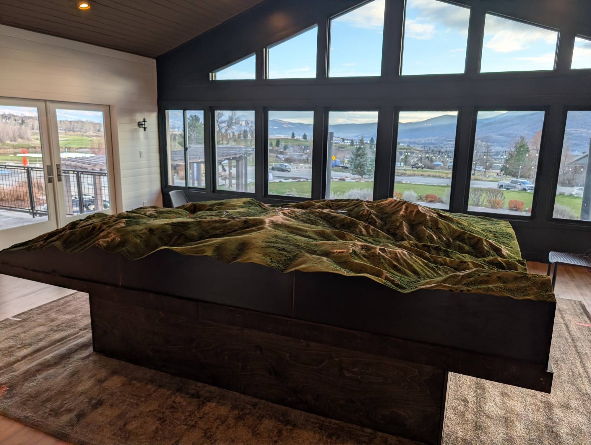
Powder Mountain Terrain Model
See the project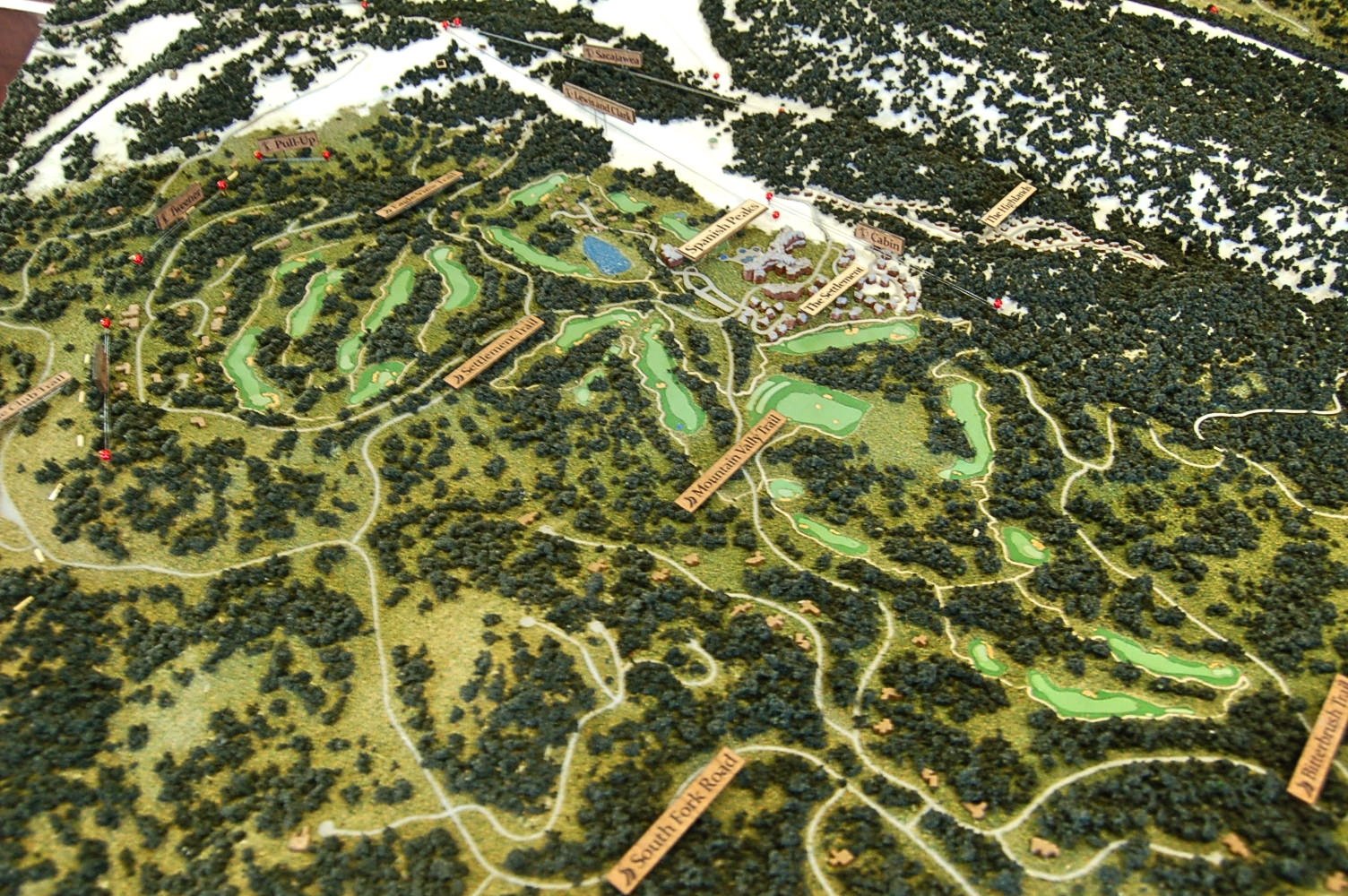
Big Sky, Montana
See the project
Red Rocks Amphitheatre Museum Model
See the project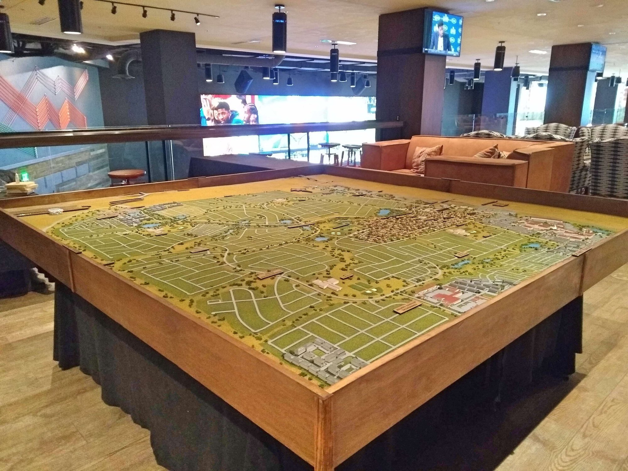
Aurora Highlands
See the project
Cornerstone Golf Course
See the project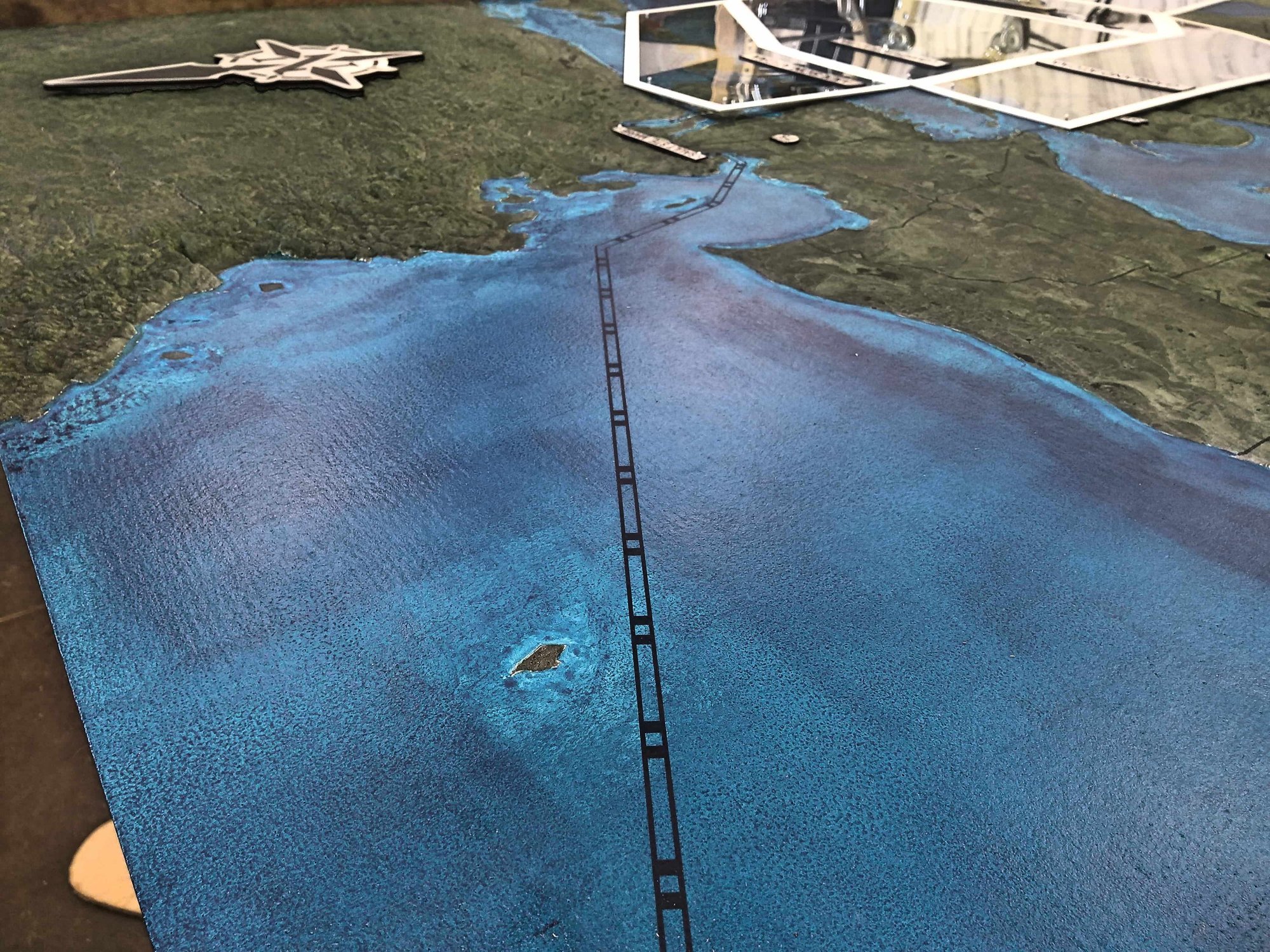
Northern Strike Terrain
See the project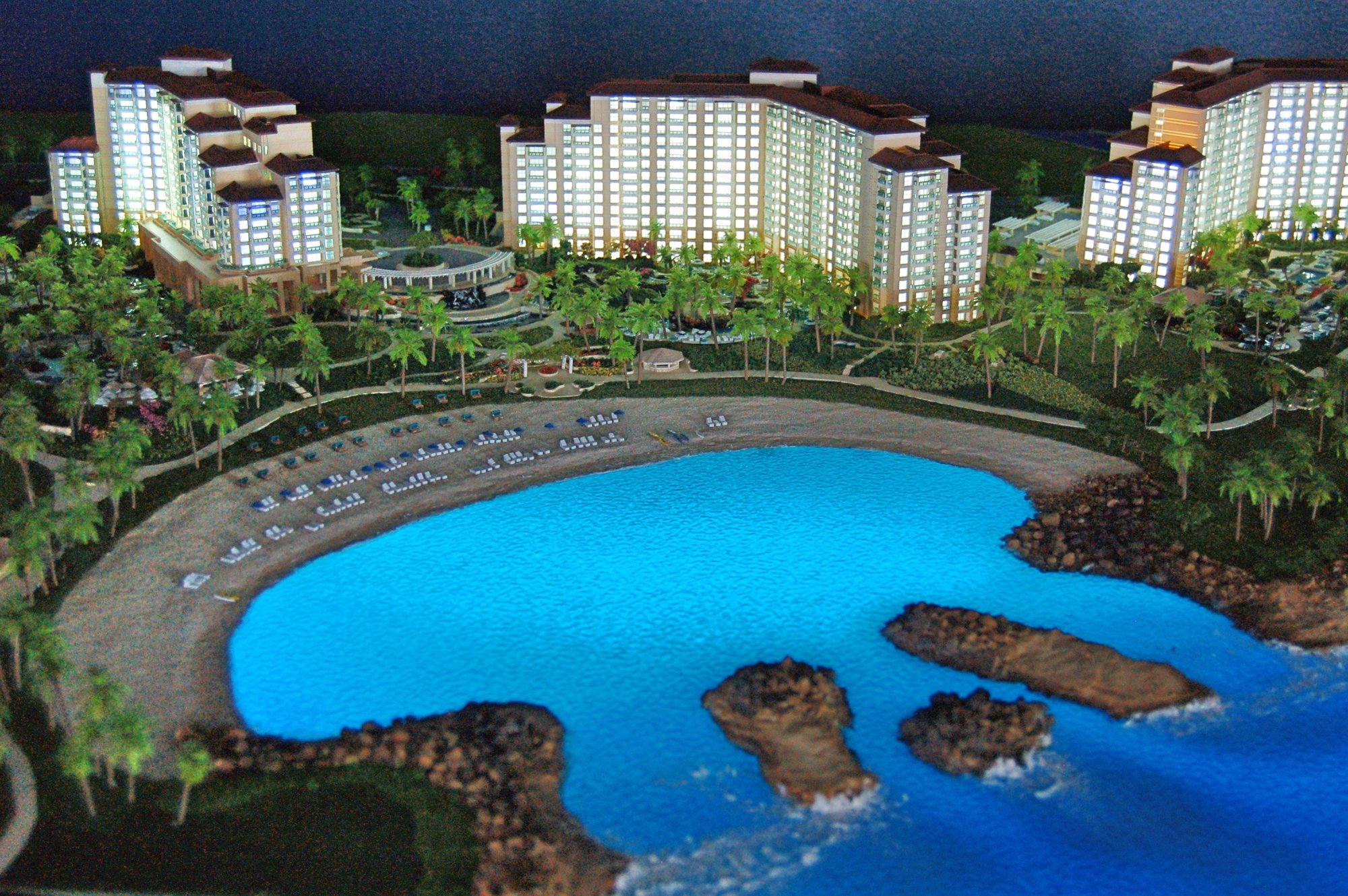
Ko Olina Resort
See the project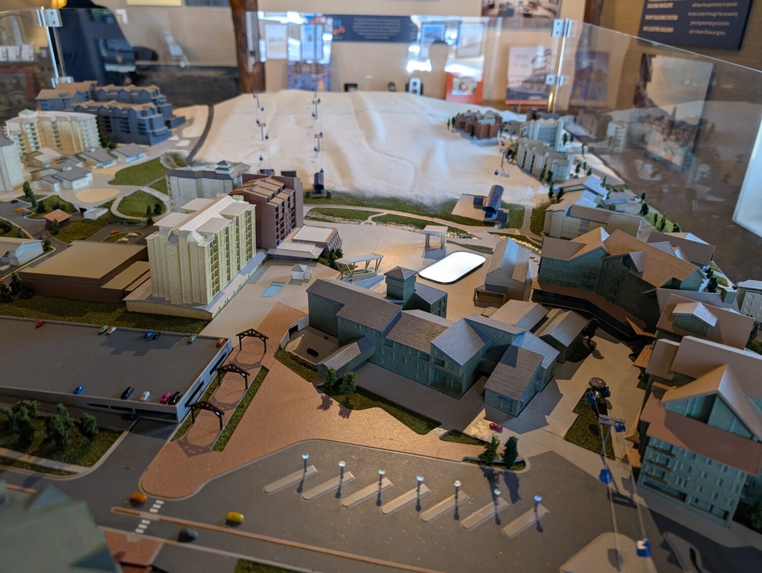
The Amble, Steamboat Springs
See the project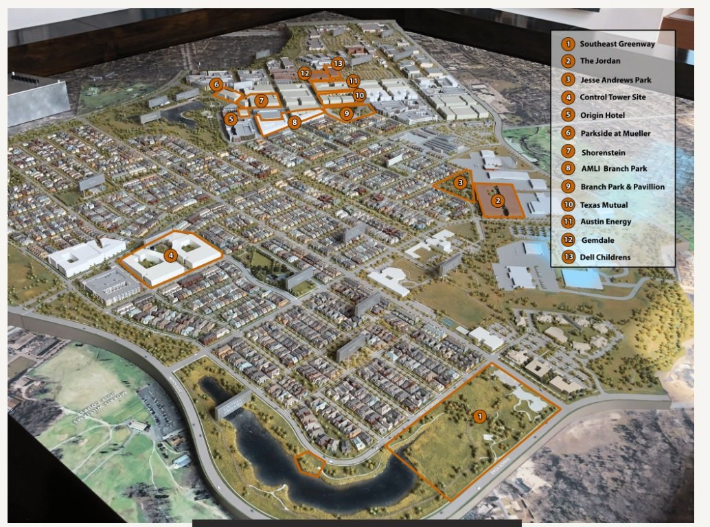
Austin Mueller
See the project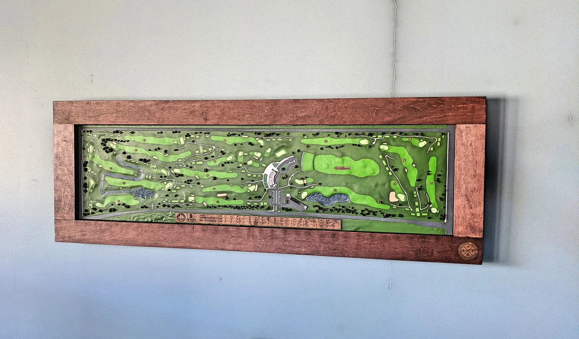
City Park Golf Course
See the project
Iowa Terrain Model
See the project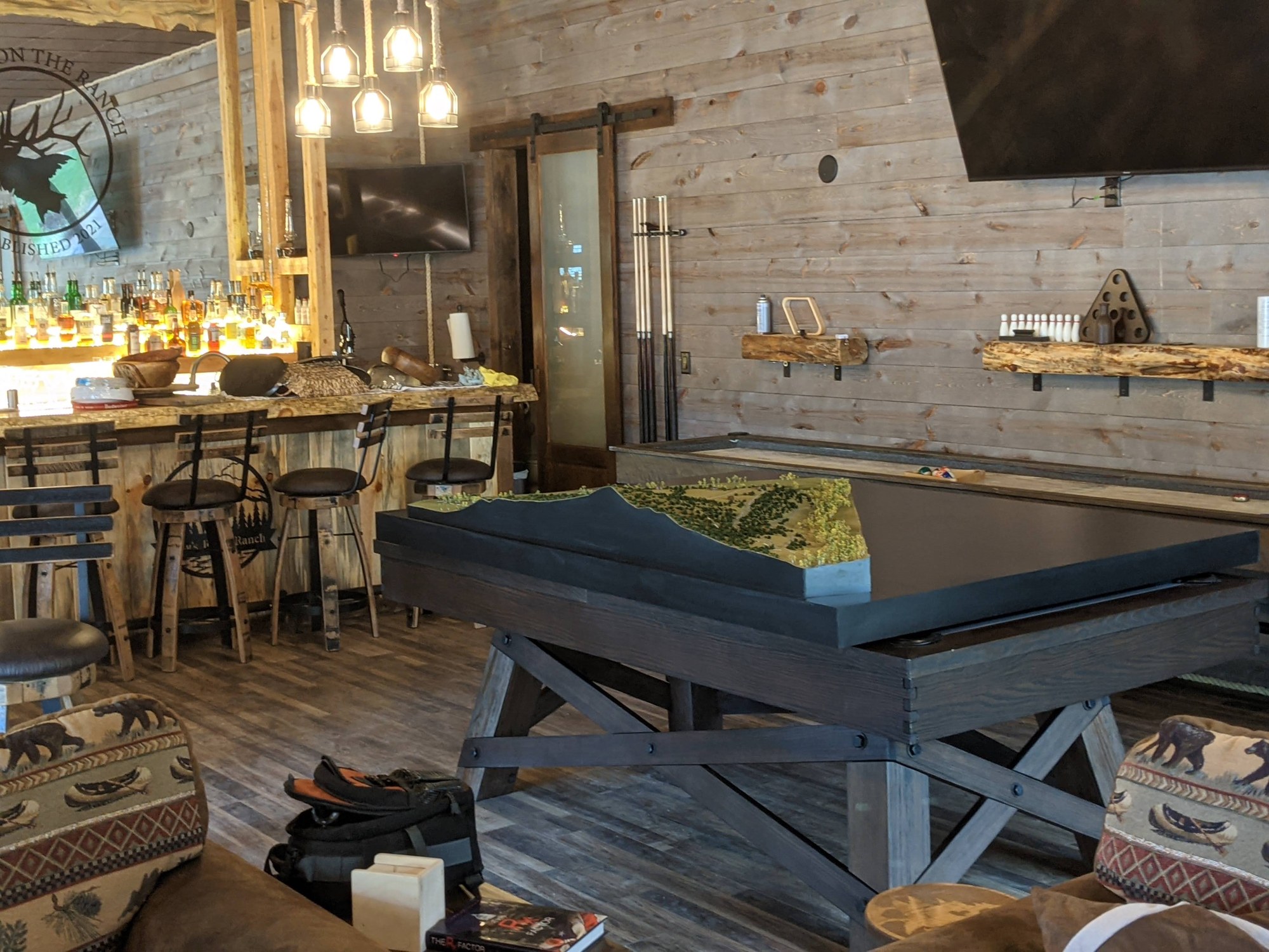
Salida Terrain Model
See the project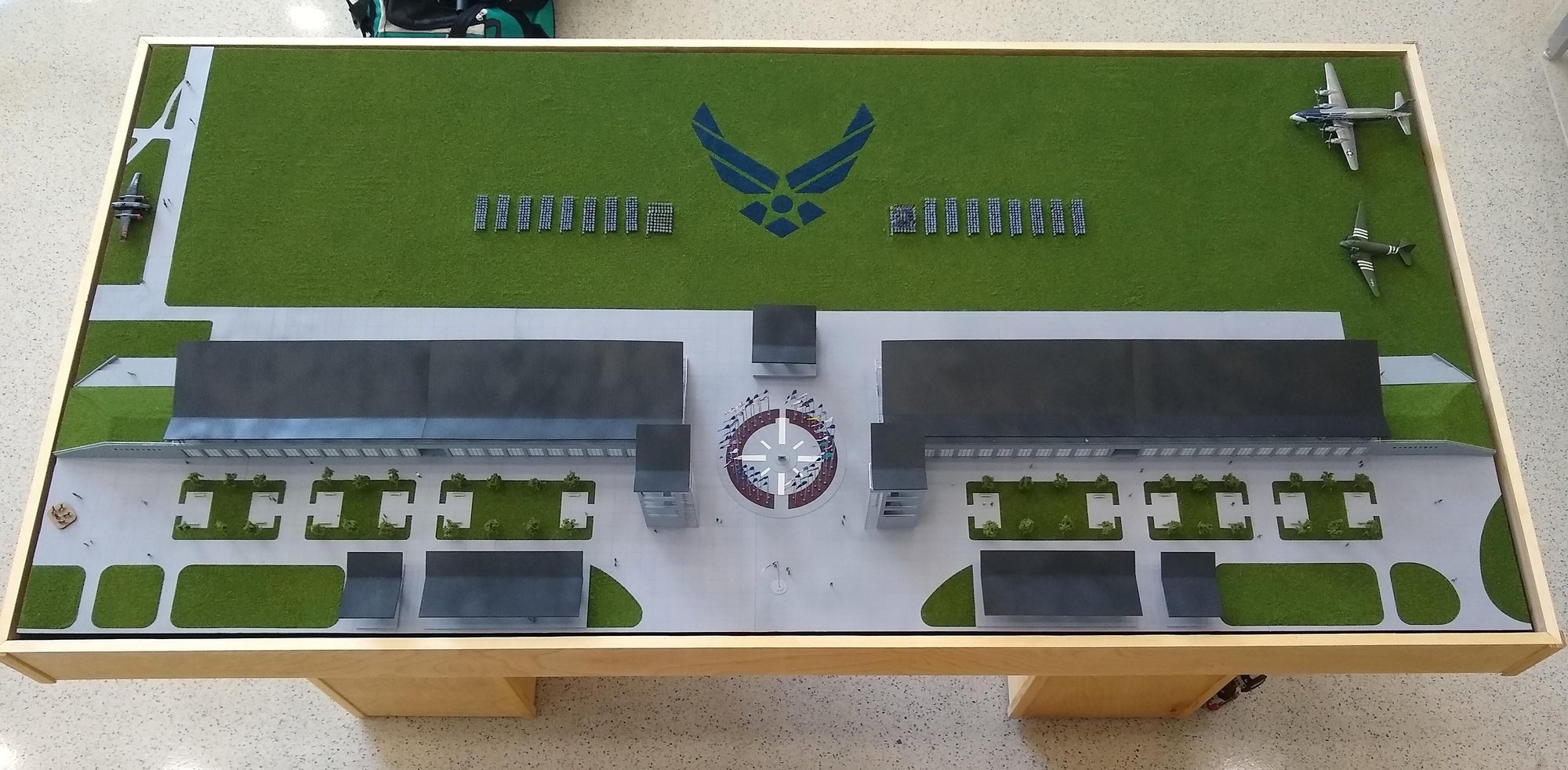
Joint Base San Antonio
See the projectSee the land and the plan together
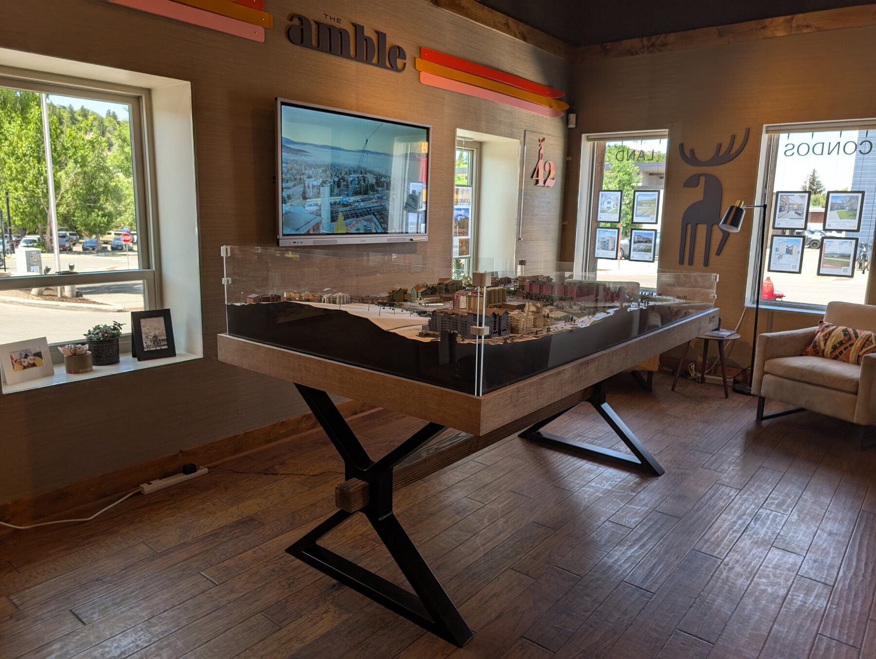
The slope around The Amble in Steamboat Springs is central to understanding that development. The Daybreak model covers a much wider area, with landforms, roads, paths and lots all visible. For Joint Base San Antonio, two site models at different scales show a proposed parade ground and museum area. We choose the area, scale and finish with the client after seeing the source material.
From terrain to a fully finished display
A custom topographic model can show much more than the shape of the ground. We finish the landscape with the features that matter to your audience: vegetation, roads, water, buildings and the boundaries of a proposed project. A museum display may put the landforms first, while a development model needs to show how homes and amenities fit the terrain. We discuss those choices before fabrication so the finished physical model tells the right story.
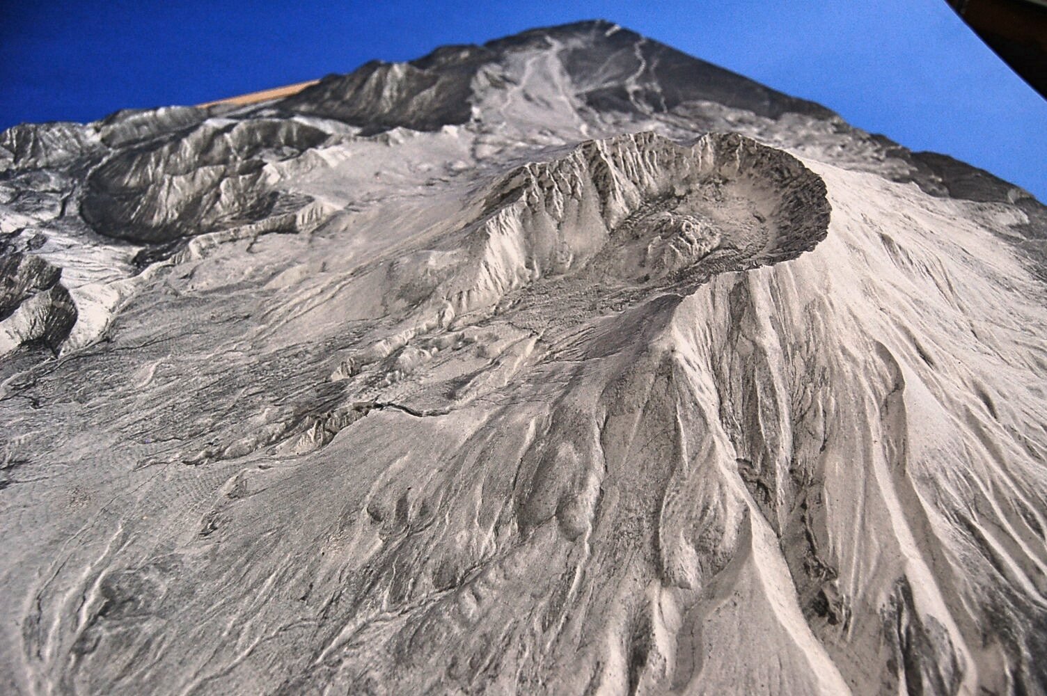
A topographic model should make the land readable for its intended audience. Our Mount St. Helens museum model uses elevation data and laser-etched satellite imagery to show the terrain. Powder Mountain combines a mountain landscape with ski runs, roads, parking, homes, lodges and lot lines. The first emphasizes the landforms; the second also needs people to understand a proposed place within them.
For presentations led by buildings, explore our architectural site models.
Landscape architecture models: paths, planting and places to gather
A landscape architecture model can focus on the designed spaces people will use: paths, planting, play areas, water and the relationship to nearby buildings. A terrain-led model starts with the shape of the land; a landscape-design presentation may place more emphasis on how those spaces connect.
The Children’s Botanical Garden model, commissioned by EDAW for sales and marketing, brings winding paths, garden beds, play structures and miniature visitors together. On the Partners Group office model, planned roads, walks, planted areas and paving colors show how people approach the building. These details help a viewer follow the design through a physical scene.
Planning a terrain model
A survey, elevation data or site drawings help us understand the landscape. We'll discuss the area to include and the features people should recognize. On a site model, terrain and architecture have to work together, so the scale must make both the landforms and the proposed buildings clear. For courses, see golf course models.
What it costs
Each project receives a fixed-cost proposal after we understand its scope. Cost factors include model size and scale, terrain complexity, landscaping, water features, buildings and course detail. We also account for the schedule, shipping and installation where applicable. See what a custom scale model costs.
Common questions
Who makes custom physical terrain models?
Archetype3D makes custom physical terrain, topographic and site models for developments, museums, golf courses and military sites. We can take the work through landscape finishing and assembly to a complete display model. Share the area, intended use and available source files to start planning.
What is a topographic model?
A physical model of the land itself, with its slopes, valleys and water, often with roads or buildings placed on top. Our topographic model guide explains when a project needs one.
What's the difference between a topography model and a site model?
A site model shows how a building fits its surroundings, with the building leading. A topography model puts the land first. Many projects fall in between.
What source material do you need?
A survey, elevation data or site drawings. If you're not sure what exists for your site, tell us about the place and we'll help find it.
Can you build a golf course model?
Yes. See our golf course models.
How much does a topography or site model cost?
Each project receives a fixed-cost proposal after we understand its scope. Cost factors include model size and scale, terrain complexity, landscaping, water features, buildings and course detail. We also account for the schedule, shipping and installation where applicable.
Need to show a site in three dimensions?
Tell us about the land, what the model needs to show and when you need it. We'll help you plan the scale, details and budget.
Planning the terrain itself? Our guides explain horizontal scale and vertical exaggeration and the elevation data and source information to prepare.
Need to show a site in three dimensions?
Share what the model needs to show and who it’s for, and we’ll help you think through scale, details and next steps.
Contact us