
GOLF COURSE / TERRAIN MODEL
City Park Golf Course
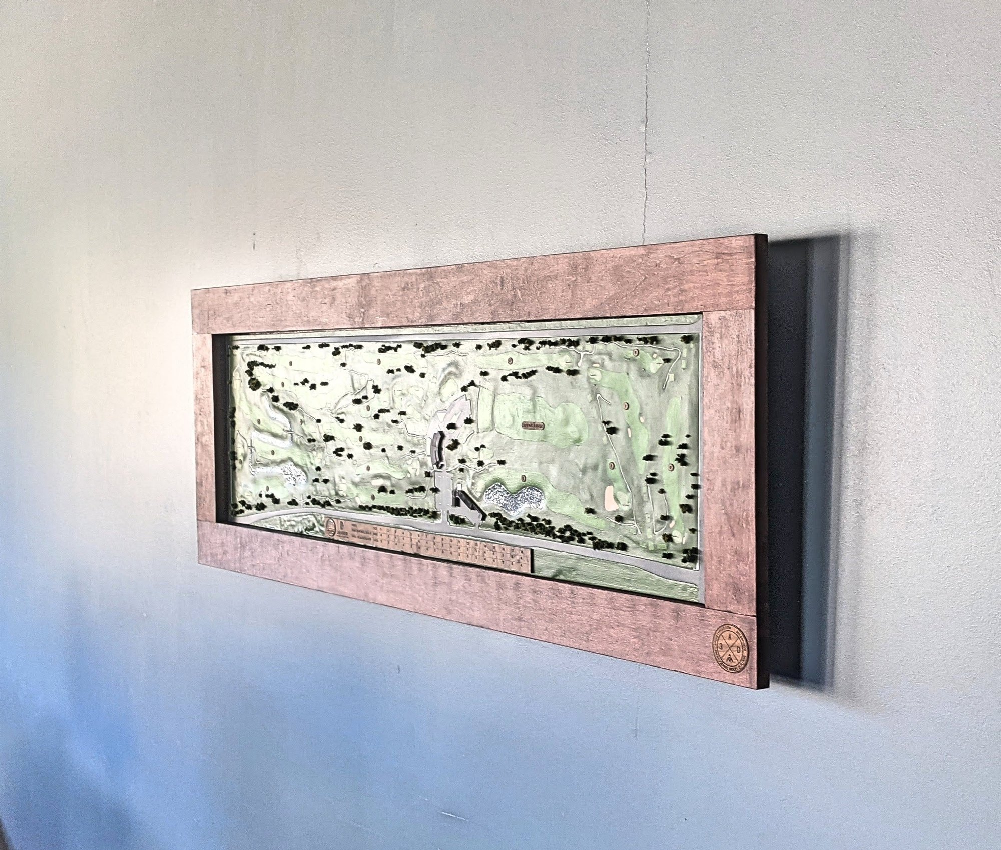
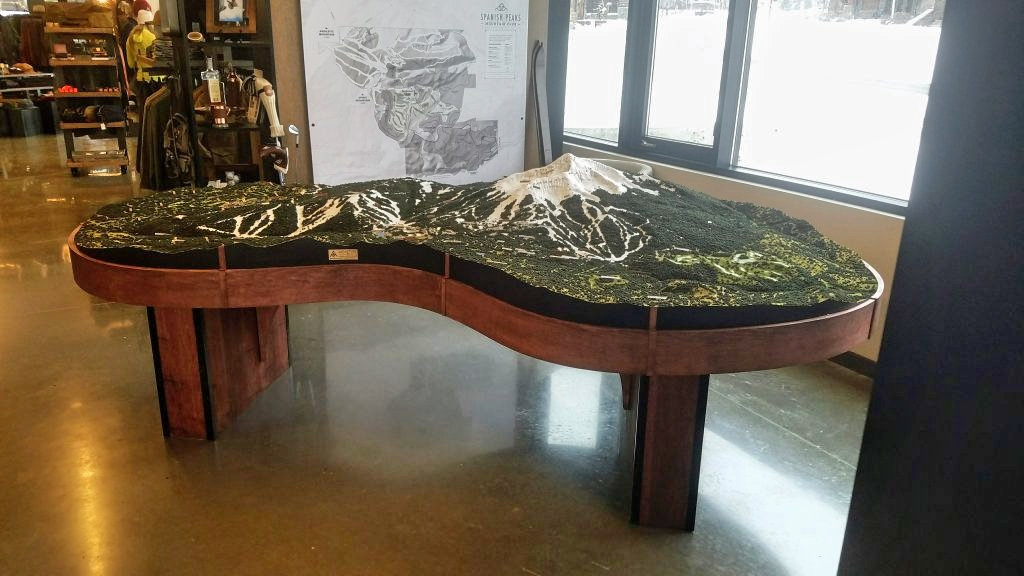
We built a physical model of Denver's City Park Golf Course that shows the course's contours and layout in the same view.City Park golf course
ABOUT THE MODEL
From drone data to a physical course
We started with drone-collected elevation data, then combined it with satellite imagery and course information. At 1:500, the 18 × 48 inch model lets viewers trace the course hole by hole while keeping the surrounding park in view.
More topography & site models- Project type
- Golf course / terrain model
- Size
- 18 × 48 in
- Scale
- 1:500
- Purpose
- Show a city golf course's terrain and layout together
- Features
- Terrain from drone elevation data; satellite imagery; course layout
KEEP LOOKING
Other projects
Plan your model
See our scale model cost guide.