Golf course models
Custom golf course scale models bring terrain, playing layouts and golf communities into a physical display. We build detailed golf course and terrain models, development models and framed 3D course maps for clubs, resorts and golf shops.
See the course in its setting.
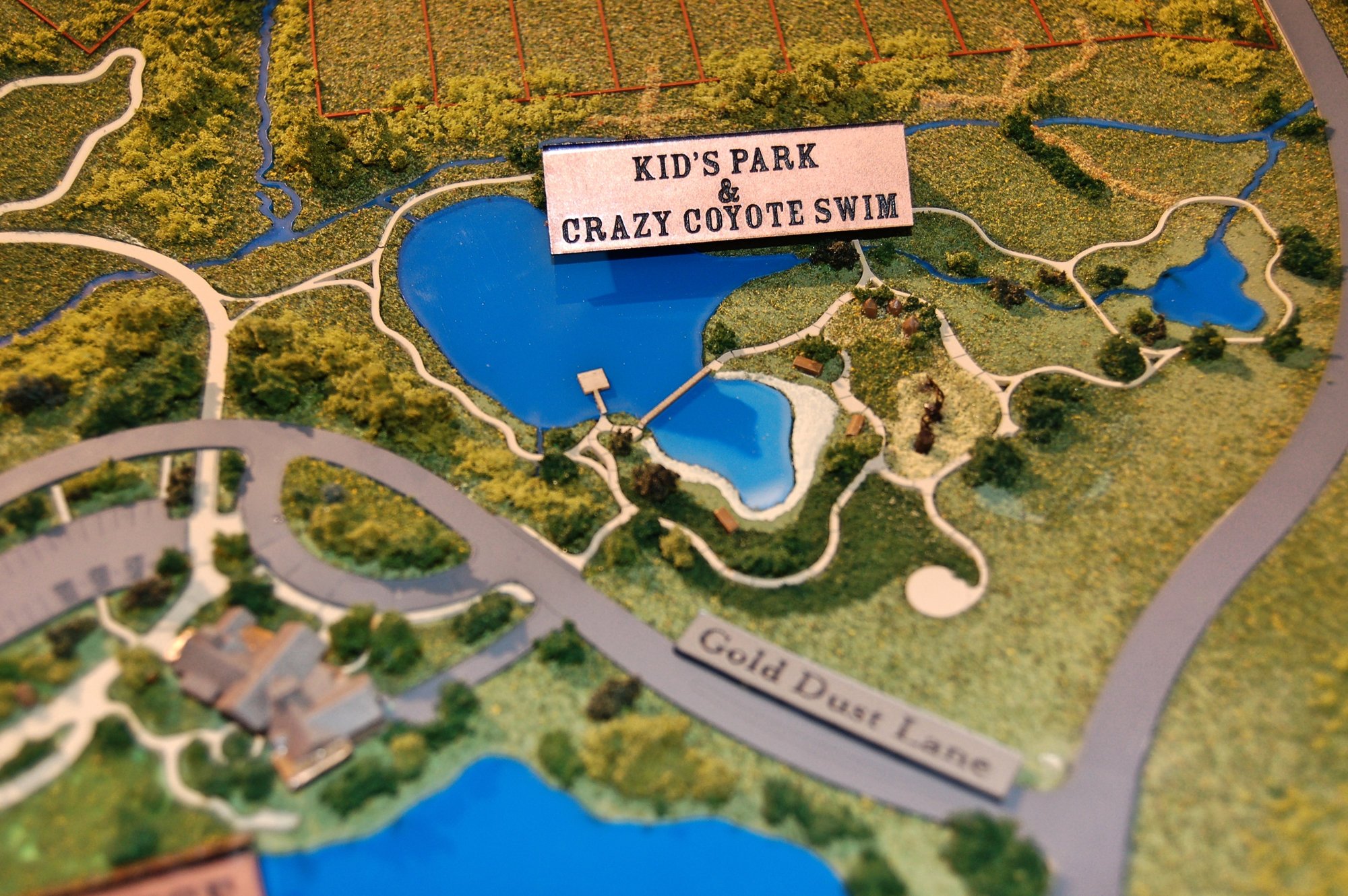
See the course in its setting
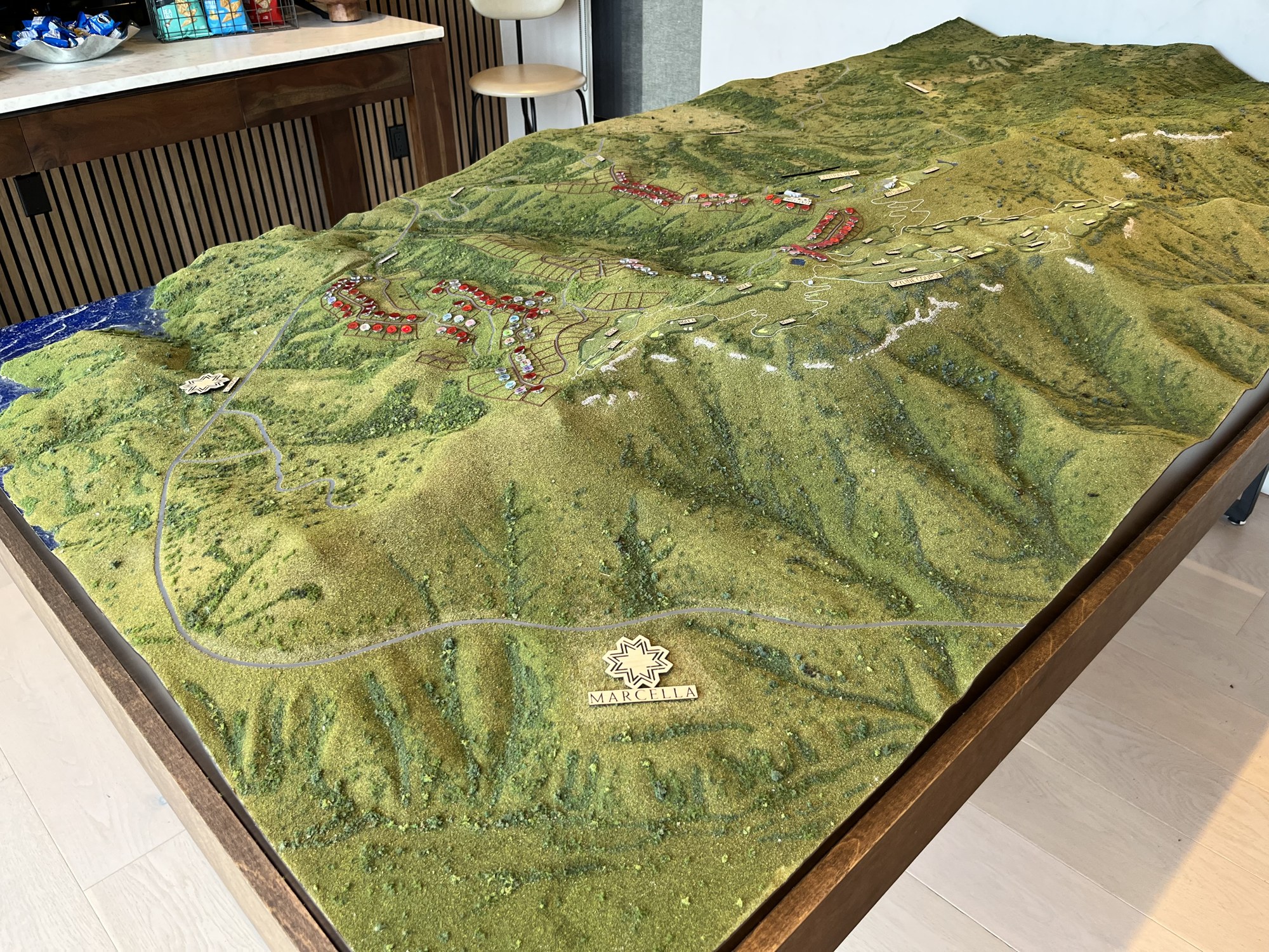
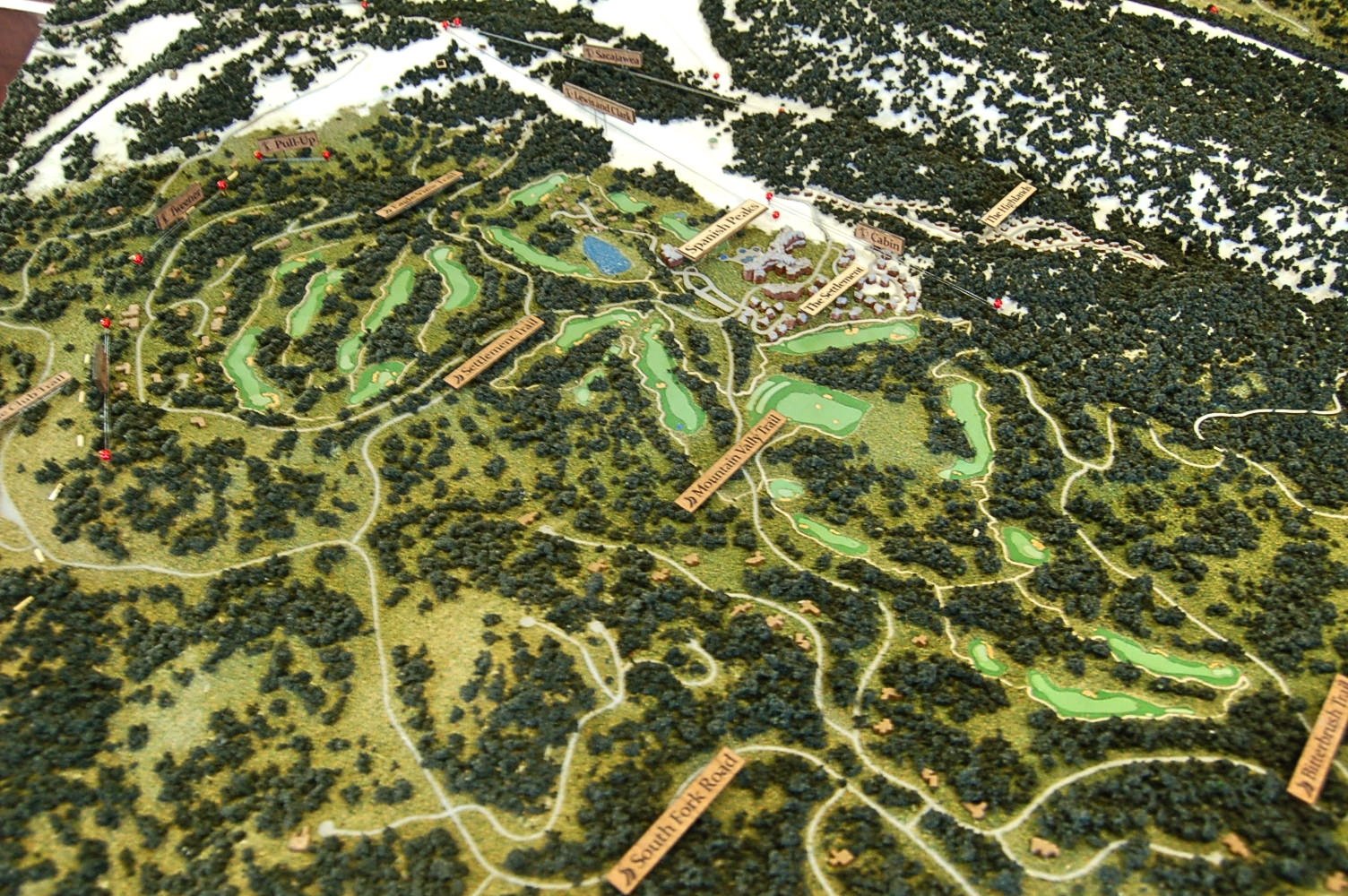
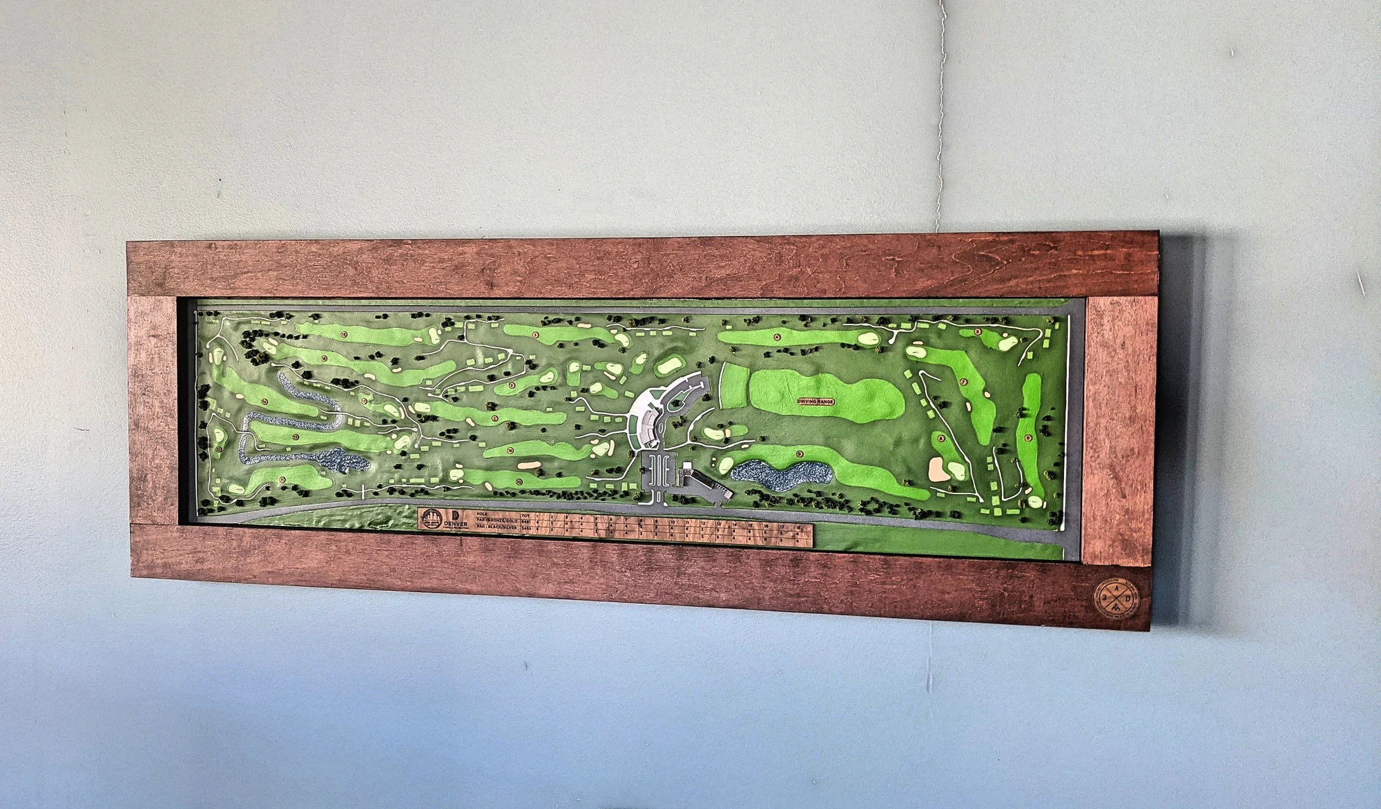
Some golf models focus on the playing route. Cornerstone brings terrain, holes and layout together. Others show the course as the centerpiece of a community. Marcella Club combines the course with roads, lot lines and amenities, with north and south sections showing the current design and future development areas. For City Park, we combined drone-collected elevation data with satellite imagery and course information. Big Sky places golf and resort amenities within the mountain landscape.
Detailed golf course and terrain models
A detailed golf course model can show how the playing route sits within the land. Elevation changes, fairways, greens, roads and surrounding development help viewers understand a course as a place, rather than as a flat plan. The area included and the level of detail depend on the presentation: a course study needs a different emphasis from a resort or golf community sales display. Cornerstone and Marcella Club show how a golf course scale model brings the course and its setting together.
Framed 3D course maps for golf shops and wall art
A wall display can focus on an accurate overview of the course layout. Our City Park Golf Course 3D map is an example of this format: a framed physical course map made from elevation data, satellite imagery and course information. It's made for golf shops, clubhouses and wall art, with a different purpose and level of detail than a full-detail topographical model. We build both formats and can help you choose the one that fits your audience and display space.
Planning a golf course model
Decide first whether the model needs to explain the course itself, the surrounding homes or both; a close course view and a broad community view answer different questions. Share the course plan, survey or elevation data, the area to include and where the model will be displayed. The scale has to make the land readable while leaving room for the features visitors need to recognize. Related guide: golf course models for golf communities.
What it costs
Each project receives a fixed-cost proposal after we understand its scope. Cost factors include model size and scale, terrain, course features, landscaping and the number and uniqueness of surrounding buildings. We also account for the schedule, shipping and installation where applicable. See what a custom scale model costs.
Common questions
Can you build detailed topographical golf course models?
Yes. Archetype3D builds custom golf course and terrain models with detail chosen for the presentation, including elevation changes, the playing layout and surrounding development. Cornerstone and Marcella Club are examples of golf models showing the course in its setting.
Can you make wall-mounted 3D golf course maps?
Yes. We make accurate physical 3D course layout maps for framed wall displays, golf shops, clubhouses and golf course wall art. City Park Golf Course is an example of this format.
Who builds golf course scale models?
Archetype3D, a model maker based in Denver, Colorado, builds custom physical golf course and golf community models and ships them worldwide.
What data do you need to build a golf course model?
A course plan plus survey or elevation data is ideal. Drone elevation data and satellite imagery also work well, as on our City Park model.
Can a golf model show future phases or lots?
Yes. Lots, homes and future development areas can be shown, color-coded or built as separate sections, as on the Marcella Club model.
Is 3D printing the right approach for a golf course model?
It can be one part of the approach. Our shop uses 3D printing alongside CNC milling, laser cutting and hand building, and we recommend a method once we've seen your course plan, desired scale and display requirements.
How much does a golf course model cost?
Each project receives a fixed-cost proposal after we understand its scope. Cost factors include model size and scale, terrain, course features, landscaping and the number and uniqueness of surrounding buildings. We also account for the schedule, shipping and installation where applicable.
Have a course to show?
Tell us about the course, what the model needs to show and when you need it. We'll help you plan the scale, details and budget.
Have a course to show?
Share what the model needs to show and who it’s for, and we’ll help you think through scale, details and next steps.
Contact usFor a broader landscape presentation, explore our custom topographic and terrain models, with site features and finishing chosen for the display.